Geography
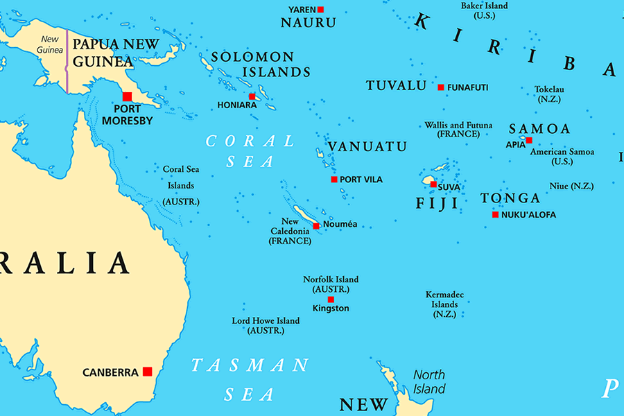
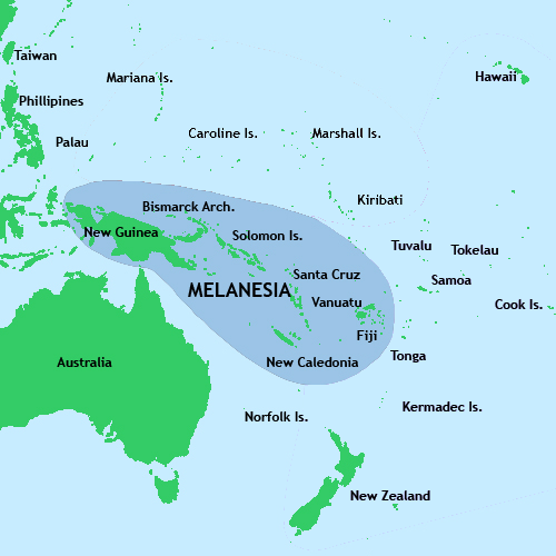
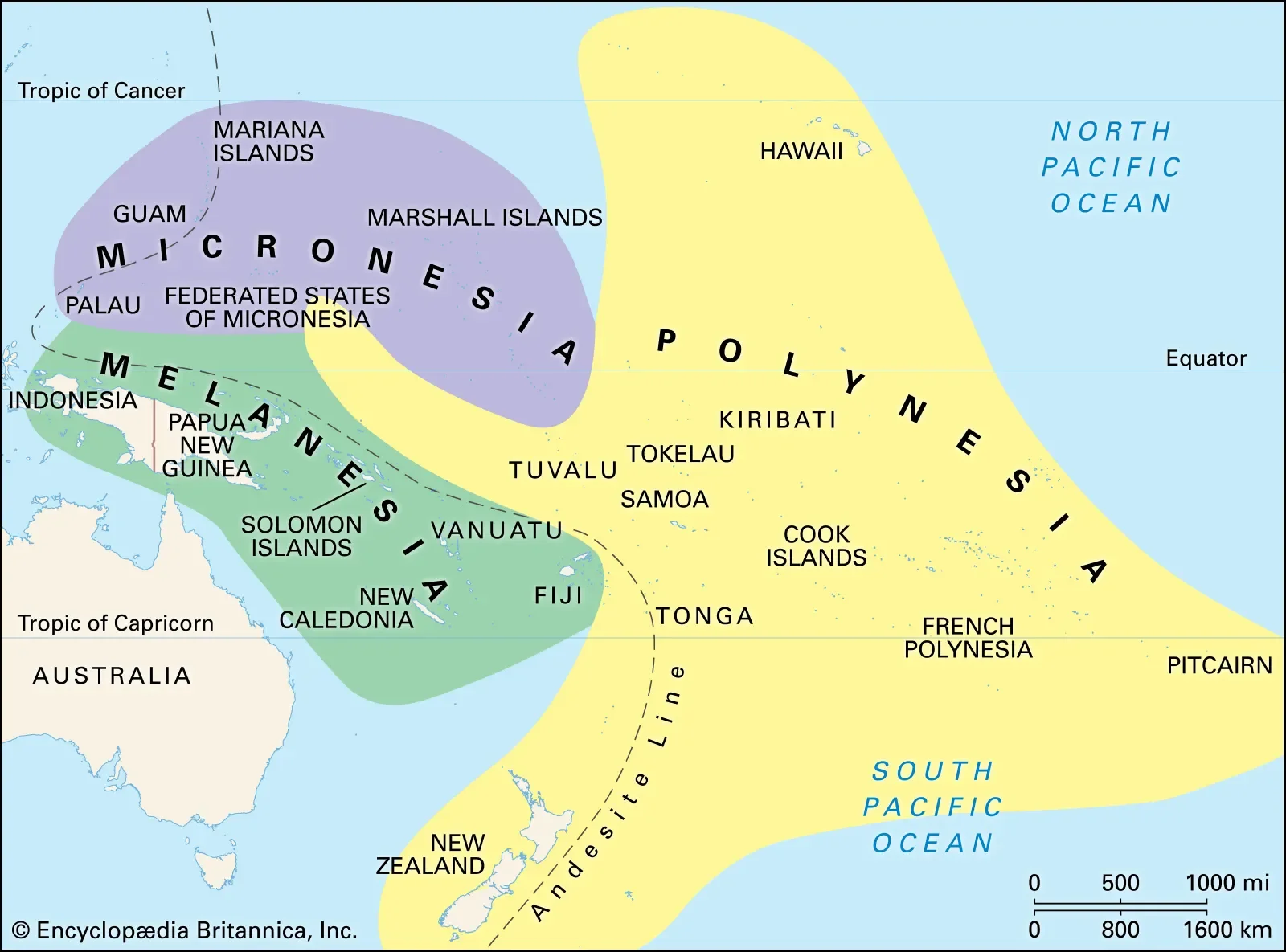
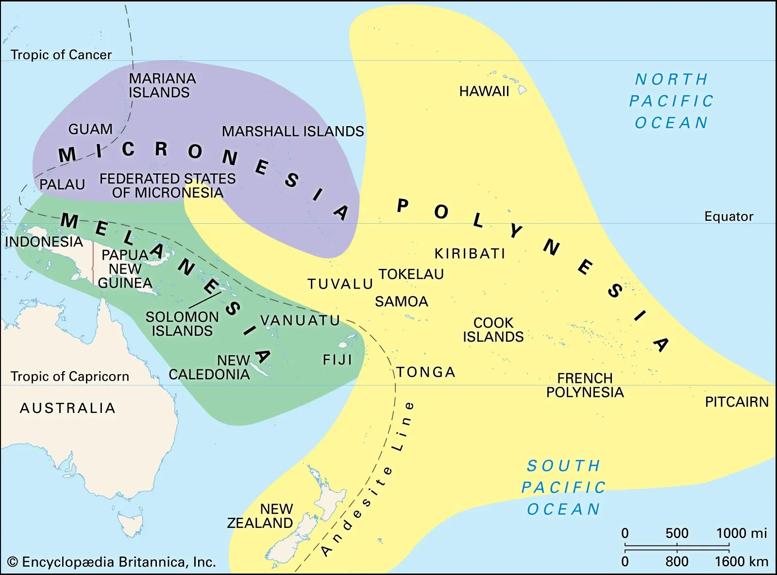
https://en.wikipedia.org/wiki/Micronesia#/media/File:Oceania_UN_Geoscheme_-_Map_with_Zones.svg
Micronesia is a region in Oceania that includes approximately 2100 islands, with a total land area of 2,700 km2 (1,000 sq mi), the largest of which is Guam, which covers 582 km2 (225 sq mi). The total ocean area within the perimeter of the islands is 7,400,000 km2 (2,900,000 sq mi).
There are four main island groups in Micronesia:
the Caroline Islands (Federated States of Micronesia and Palau)
the Gilbert Islands (Kiribati)
the Mariana Islands (Northern Mariana Islands and Guam, U.S.)
the Marshall Islands
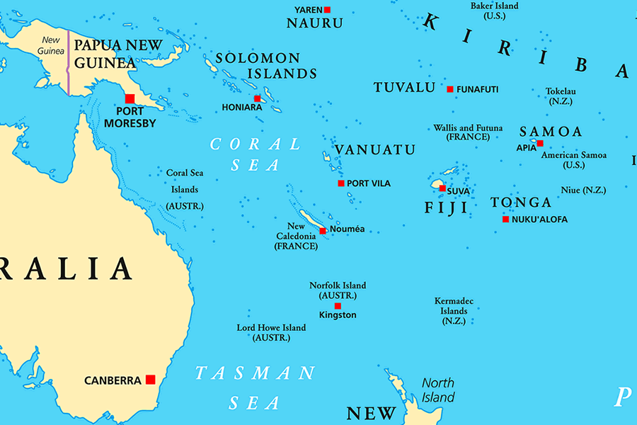
This does not include the separate island nation of Nauru, along with other distinctly separate islands and smaller island groups.
Caroline Islands
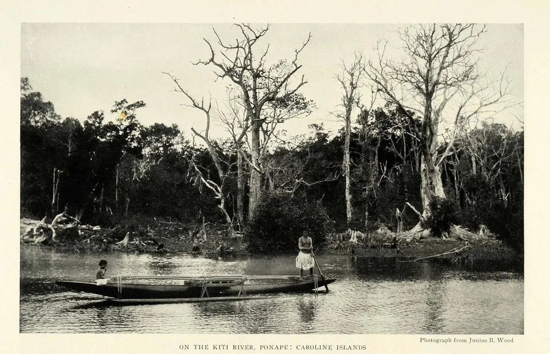
The Caroline Islands are a widely scattered archipelago consisting of about 500 small coral islands, north of New Guinea and east of the Philippines. The Carolines consist of two nations: the Federated States of Micronesia, consisting of approximately 600 islands on the eastern side of the chain with Kosrae being the most eastern; and Palau consisting of 250 islands on the western side.
Gilbert Islands
Tarawa Atoll
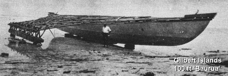
The Gilbert Islands are a chain of sixteen atolls and coral islands, arranged in an approximate north-to-south line. In a geographical sense, the equator serves as the dividing line between the northern Gilbert Islands and the southern Gilbert Islands. The Republic of Kiribati contains all of the Gilberts, including the island of Tarawa, the site of the country's capital.
Mariana Islands
Mount Marpi in Saipan.
The Mariana Islands are an arc-shaped archipelago made up by the summits of fifteen volcanic mountains. The island chain rose as a result of the western edge of the Pacific Plate moving westward and plunging downward below the Mariana plate, a region that is the most volcanically active convergent plate boundary on Earth. The Marianas were politically divided in 1898, when the United States acquired title to Guam under the Treaty of Paris, 1898, which ended the Spanish–American War. Spain then sold the remaining northerly islands to Germany in 1899. Germany lost all of her colonies at the end of World War I and the Northern Mariana Islands became a League of Nations Mandate, with Japan as the mandatory. After World War II, the islands were transferred into the United NationsTrust Territory System, with the United States as Trustee. In 1976, the Northern Mariana Islands and the United States entered into a covenant of political union under which commonwealth status was granted the Northern Mariana Islands and its residents received United States citizenship.
Marshall Islands
Beach scenery at Laura, Majuro, Marshall Islands
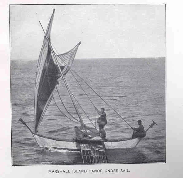
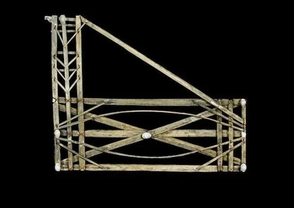
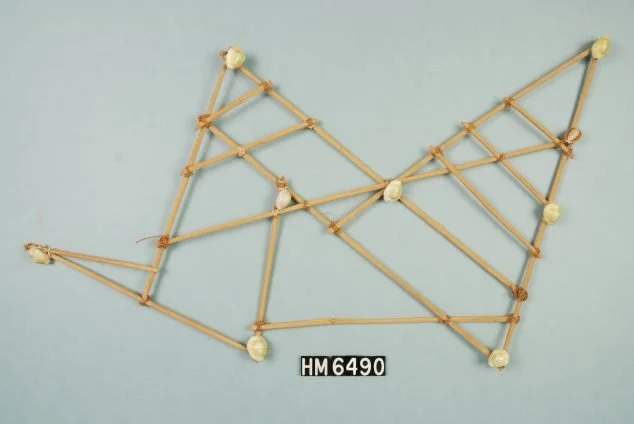
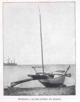
The Marshall Islands are located north of Nauru and Kiribati, east of the Federated States of Micronesia, and south of the U.S. territory of Wake Island. The islands consist of 29 low-lying atolls and five isolated islands,[15] comprising 1,156 individual islands and islets. The atolls and islands form two groups: the Ratak Chain and the Ralik Chain (meaning "sunrise" and "sunset" chains). All the islands in the chain are part of the Republic of the Marshall Islands, a presidentialrepublic in free association with the United States. Having few natural resources, the islands' wealth is based on a service economy, as well as some fishing and agriculture. Of the 29 atolls, 24 are inhabited.
Bikini Atoll is an atoll in the Marshall Islands. There are 23 islands in the Bikini Atoll. The islands of Bokonijien, Aerokojlol and part of Nam were destroyed during nuclear tests that occurred there. The islands are composed of low coral limestone and sand. The average elevation is only about 2.1 metres (7 ft) above low tide level.
Nauru
Nauruis an oval-shaped island country in the southwestern Pacific Ocean, 42 km (26 mi) south of the Equator, listed as the world's smallest republic, covering just 21 km2 (8 sq mi).With 12,511 residents, it is the third least-populated country, after Vatican City and Tuvalu. The island is surrounded by a coral reef, which is exposed at low tide and dotted with pinnacles. The presence of the reef has prevented the establishment of a seaport, although channels in the reef allow small boats access to the island. A fertile coastal strip 150 to 300 m (490 to 980 ft) wide lies inland from the beach.
Wake Island
Wake Island is a coral atoll with a coastline of 19 km (12 mi) just north of the Marshall Islands. It is an unorganized, unincorporated territory of the United States. Access to the island is restricted and all activities on the island are managed by the United States Air Force. While geographically adjacent, it is not ethnoculturally part of Micronesia, due to its historical lack of human inhabitation. Micronesians may have possibly visited Wake Island in prehistoric times to harvest fish, but there is nothing to suggest any kind of settlement.